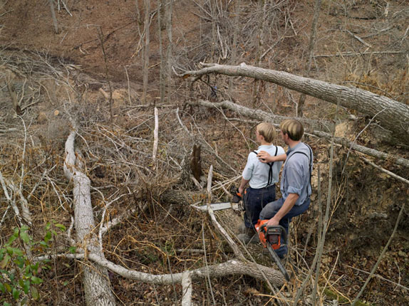
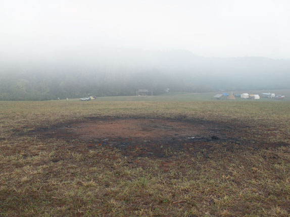

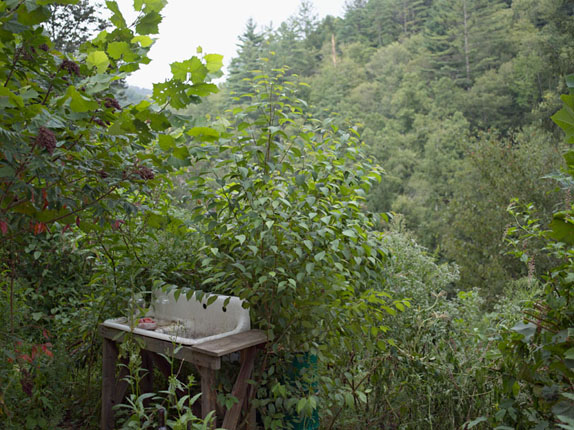


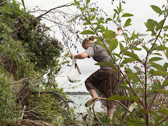


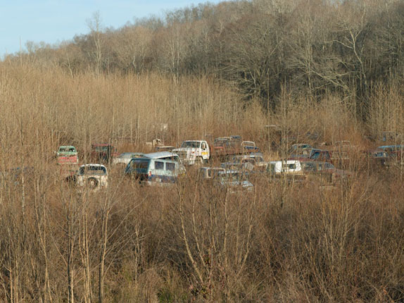

A common misconception of a watershed is that it’s all about the water. While water does play a large part, the land plays an even larger role by directing the water to a common point, such as a river or ocean. Thus human impact on the land directly affects the water that runs over it. With this project I intend to highlight this relationship between the land, water, and man, within the Mississippi River watershed. This is a long-term series of work that aims to define the Mississippi River watershed, the largest watershed in North America, in terms of its smaller pieces. I intend to document the four corners of the watershed in a series of chapters. The French Broad, and the Tennessee watersheds make up the southeastern corner of the Mississippi watershed. The first chapter of the Watershed series focuses on The French Broad River Basin. In the 1950s The French Broad River was one of the most polluted rivers in the country. A local writer Wilma Dykeman described the condition of the river as having “white scum that caps the water’s blackness for mile after mile.” The river was beset with pollution from erosion, which was caused by deforestation, pollution from heavy industry, and the rapid development of the cities within the watershed. This work shows the constant change that occurs within the watershed of the French Broad River due to man’s presence, as well as natural causes such as floods and erosion. Beginning at the headwaters of the French Broad and following the river through Western North Carolina into Tennessee, where it joins with the Holston River to form the Tennessee River, this project documents the development and use of the watershed. It is my hope that by documenting the rivers of the French Broad, its citizens, and environs, this project will bring attention to the importance of the growing sustainability movement in this watershed and beyond. Continuing down the system of watersheds that make up the southeastern quarter of the Mississippi River Basin, the second chapter of the Watershed project will examine the Tennessee River Basin, a system of rivers that is for the most part controlled and ultimately harnessed by Tennessee Valley Authority. A government organization started in 1933 that provides flood control, navigation on the rivers, economic development, and finally electric power production. The TVA operates nearly 50 dams in the Tennessee Watershed, as well as 18 power plants, and 3 nuclear plants.
The project website, which incorporates an interactive map, can be found here: